
Sources for Maricopa Neighbors
Public records can describe the land and named owners around one Maricopa address. They do not form a complete household list. The parcel viewer supplies the block shape and adjoining lots. Assessor and Treasurer records add owner, site, mailing, tax, and parcel details. Recorder instruments connect those lots with transfer parties. Planning notices may identify an applicant or owner of record. Voter information and voluntary community contacts operate under much tighter limits.
| Source | What it reveals about the block | Access route |
|---|---|---|
| Pinal parcel viewer | Adjacent parcels, owners, site and postal fields, subdivision, sale and value clues | Free interactive map; informational, not a survey |
| Pinal Assessor | Standardized address, owner, APN, and property description | Free search by address, owner, parcel, or subdivision |
| Pinal Treasurer | Owner mailing locality, tax account, and exportable parcel results | Free inquiry; data updated nightly |
| Pinal Recorder | Transfer parties and instruments tied to each lot | Web index from May 23, 1980; earlier office records |
| Planning notices | Applicants, owners, and nearby-owner notice context | City agendas or bounded records request |
| Community contacts | Public organization or business contacts only | Voluntary public listings; member lists usually private |
Choose the source by question. Use GIS to see which lots touch. Use the Assessor to normalize an address and identify the assessment owner. Use Recorder documents when a transfer party or legal description matters. A person named on one of those records may receive mail elsewhere or may hold the parcel through a trust or entity. None of those facts alone says who is inside the home today.
Map Maricopa Neighbor Parcels
The current Pinal County Assessor Parcel Viewer is the best starting surface for nearby lots. Search a seed address or APN and confirm the selected polygon. The map can then select with a rectangle, polygon, circle, polyline, or point. Partial-within behavior is enabled, so a small shape can gather parcels that cross its edge. The popup separates the site address from the postal address and can show owner, parcel description, subdivision, year built, value, taxes, sale data, and a Reception Number lead.
The map makes the nearby parcel pattern visible, but recorded instruments and legal descriptions control when ownership or boundaries must be proved.
- Search the known Maricopa address or its APN. Check that the map selected the intended lot.
- Zoom to facing and adjoining lots. Draw a tight rectangle or polygon around only the block area that matters.
- Open each selected parcel. Record owner, APN, site address, postal address, subdivision, and source date without merging fields.
- Confirm the owner and standardized address in the Assessor. Use the Recorder only when a transfer or instrument is relevant.
- For the full named-road chain, move to the Maricopa directory by street rather than widening this block method.
Maricopa Neighbors Need Drawn Blocks
The viewer does not have a configured radius buffer. That is a practical limit, not a reason to guess. A circle selection is a drawn shape, while a true buffer would compute a set distance around a point. To inspect Maricopa neighbors, draw around the lots that face or touch the seed parcel. The viewer can measure distance in feet and area in square feet, but measurement supplies spatial context rather than legal ownership.
This local behavior prevents a common overclaim. The result is a selected set of parcels, not a list of everyone within a promised mile or walk time. Search caps and map configuration can also affect what appears. If the exact boundary matters, use the plat and recorded legal description. A parcel-viewer line is informational and should not be treated as a survey.
Note: Draw a small block shape and inspect each popup; do not describe the result as an automated radius search.
Addresses Behind Maricopa Neighbors
A site address states where the parcel lies. A postal address states where tax correspondence goes. Matching values suggest that an owner may receive mail at the parcel, but they do not prove owner occupancy. A mismatch can be an absentee-owner lead, yet it does not identify the people at the site. Trusts and entities can appear as owners, and people who do not own land may not appear on a parcel card at all.
The Pinal Treasurer Parcel Inquiry supplies a second official view of owner mailing data and tax accounts.
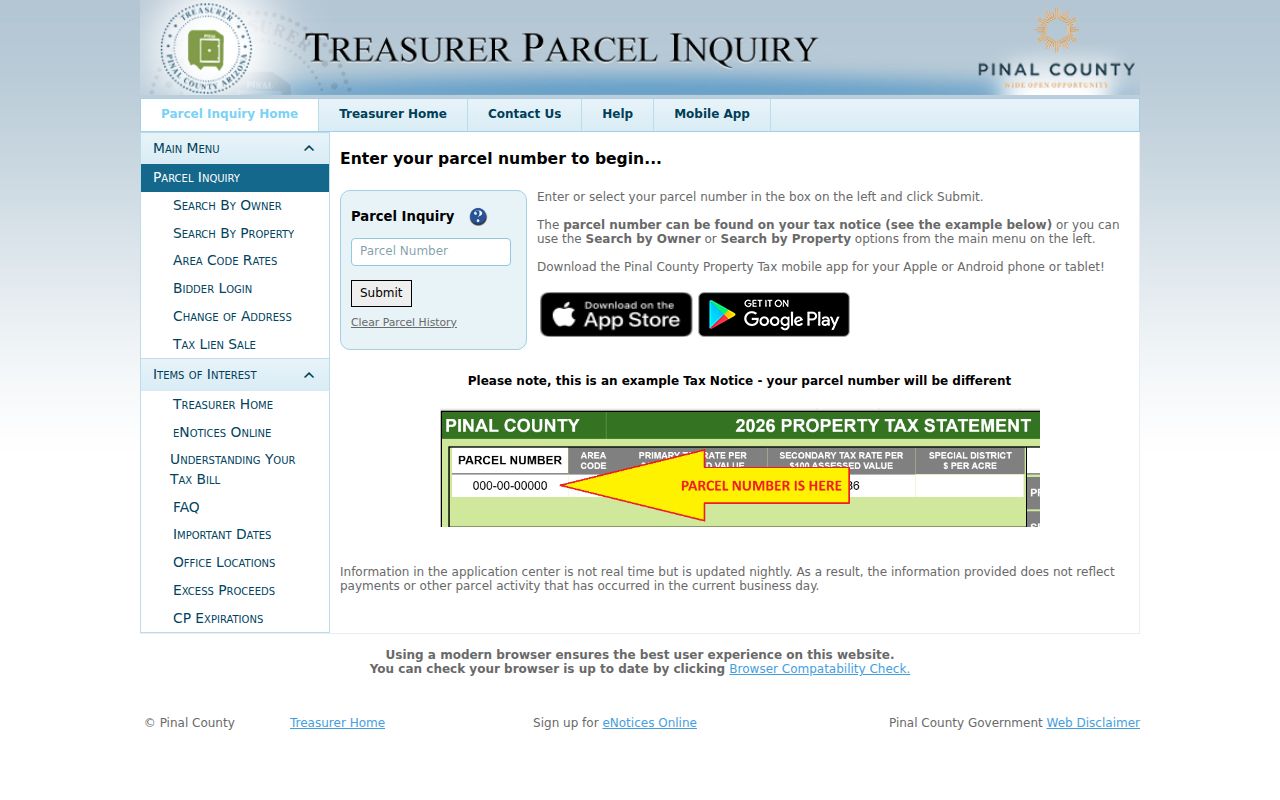
Its owner and mailing fields can be filtered and exported, with data described as nightly rather than real-time. Keep that update cycle with the result. The Treasurer's ZIP field is an owner-mailing filter, not a map of every Maricopa parcel in that ZIP.
- Site address
- The physical location assigned to the parcel.
- Postal address
- The destination for assessment or tax correspondence.
- APN
- Pinal's Book-Map-Parcel-Split tax identifier.
- Reception Number
- A GIS recording lead that must be checked against the Recorder instrument.
Maricopa Neighbor Community Context
The city's General Plan elements explain why community names often help locate a block. They say much of Maricopa's residential growth is in planned communities developed mainly since 2000, commonly with recorded covenants and active homeowners associations. The plan names Tortosa and Homestead at Rancho El Dorado and identifies the Heritage District. It also notes that association parks and trails may be private.
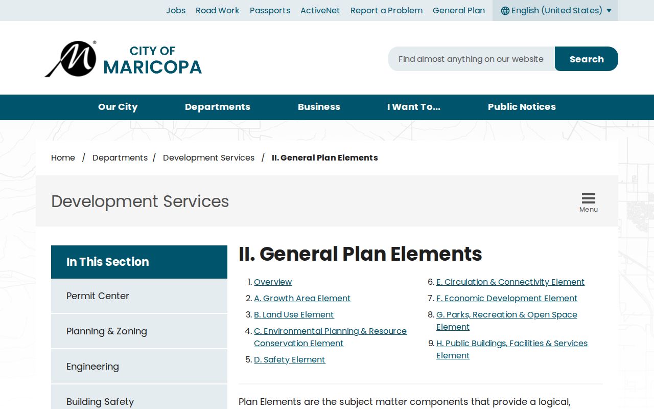
These labels help reconcile subdivision, plat, and parcel results. They do not provide a public member roster. The research found no official, complete, current list of Maricopa associations or their households, so community names should be used as geography rather than as proof of membership.
Public Contacts for Maricopa Neighbors
Community context is strongest when it comes from a public institution or a group that chose to publish a contact. The city can provide planning records and notices. The Chamber publishes business affiliations. The Historical Society offers local photographs, oral histories, and written histories. None of these sources should be expanded into an assumed list of private households.
City Clerk and Planning
Use city agendas and a narrow public-records request for an existing planning notice, applicant, or owner-of-record document.
Maricopa Chamber
Use a public business affiliation as a business clue only. It is not a neighborhood or household directory.
Historical Society
Ask about place names, photos, schools, ranches, rail history, and oral accounts that add past block context.
The captured Maricopa Chamber directory shows the sort of voluntary public listing available locally.
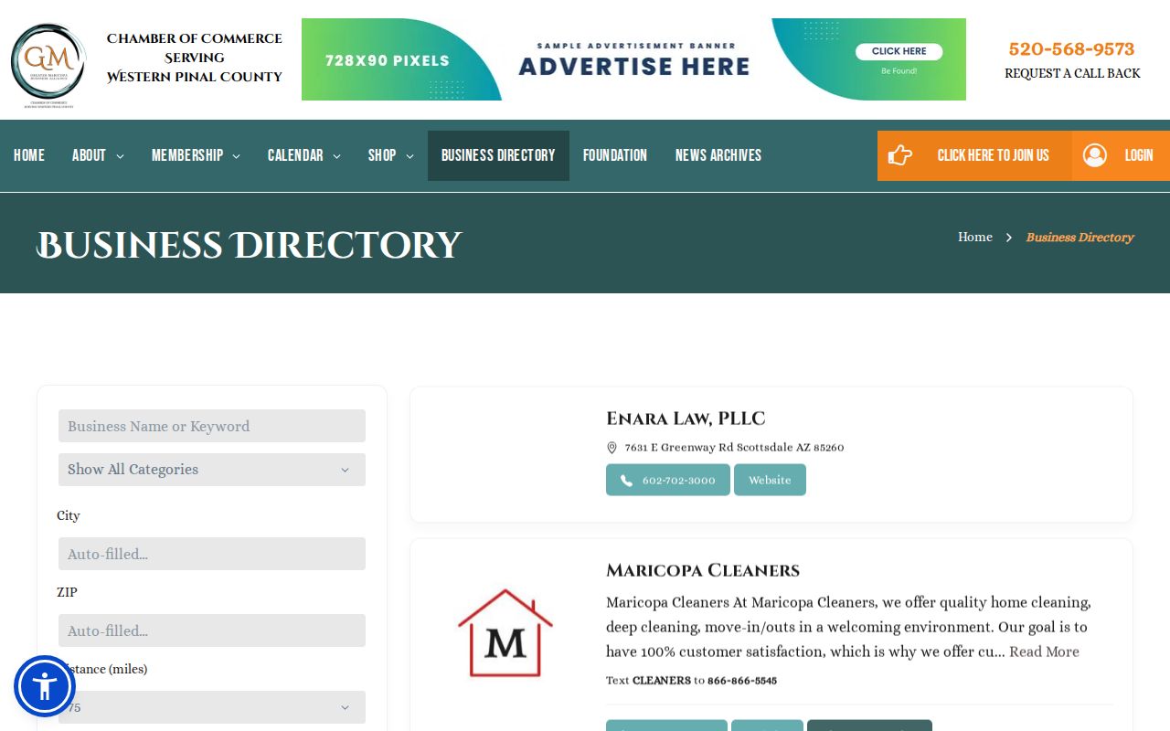
A business listing can connect a public-facing organization or proprietor with the city. Its address may be a shop, office, agent, or mailing point, so it should never be relabeled as a home.
Maricopa Voter Data Is Not Neighbors
The Arizona Voter Information Portal is a private-input self-check. A voter selects Pinal County and supplies qualifying identification details to confirm registration, polling, district, and election information. It does not allow an arbitrary public browse of names along a Maricopa block. Search failure can reflect spelling, county choice, recent registration, status, or input problems.
Pinal County does offer a voter-data public-record request. The form asks for requester and organization details, contact information, geographic and data scope, format, election or precinct criteria, permitted purpose, and certification. A.R.S. § 16-168 controls distribution and use. Protected addresses and restricted identifying fields are withheld. Election participation never discloses ballot choices.
City, ZIP, district, and precinct lines are not interchangeable. If an approved dataset is needed for civic research, ask for the exact lawful scope and preserve the geography and date. Do not infer facts about people whose protected or otherwise restricted data is absent.
Maricopa Neighbor Tool Differences
Official rolls and commercial neighbor tools serve different roles. The official source identifies the office, update pattern, and field meaning. A commercial compilation may combine filings with licensed or scraped data, merge people with the same name, keep old phone or address history, or hide the age of a source. That output should be treated only as an unverified lead.
| Question | Official record | Commercial compilation |
|---|---|---|
| Who owns a parcel? | Assessor plus recorded instrument | May repeat stale or unsourced ownership |
| Which lots are adjacent? | GIS parcel geometry, checked against plats | May generalize by address proximity |
| Who lives there now? | No complete public household roll | May blend old, related, or same-name people |
| How is an error fixed? | Ask the office that created the source record | Use the provider's privacy or correction process |
Removing a commercial listing does not erase an official deed, court file, or tax roll. A government error requires a custodian correction or statutory redaction. Preserve the original source and stop when the record does not support a confident match.
Privacy for Maricopa Neighbors
The parcel map's owner is not everyone on the block. Utility, delivery, library, private club, neighborhood-watch, congregation, and association membership data are not public household rosters. Arizona's Safe at Home program provides substitute addresses and mail forwarding for eligible victims and household members. Protected voter addresses and sensitive court or law-enforcement information remain restricted.
Public planning notices and land records may still contain an address. That fact does not invite repeated contact, surveillance, threats, or exposure of a protected person. If a record appears wrong, send the correction to its custodian. Ownership questions go to the Assessor after the underlying Recorder instrument is checked. A portal cannot settle a dispute that belongs with the office.
Lawful use. Research about Maricopa neighbors must stay personal and lawful. Arizona harassment and stalking laws apply when public facts are used to watch, threaten, or harm.