
Walk a Maricopa Street Record
A useful Maricopa street directory result is a chain, not a single name. Start with the address as the county stores it. The parcel roll supplies the Assessor Parcel Number, or APN, plus the standardized site address and current assessed owner. The map confirms the correct lot. Recorded documents then connect that owner to a deed. Permit and code files can date work at the place, while older directory and census evidence may identify a household for a past year.
Follow the records in this order so that each new search uses an identifier from the prior result:
- Enter the street number, direction, street name, and suffix in the Pinal County Assessor search. Save the APN and legal description.
- Open the same address in the county parcel viewer. Confirm the polygon, subdivision, site address, and nearby lots.
- Compare the site address with the owner postal address. A mismatch is a mailing clue, not proof of who occupies the property.
- Use the owner name, legal description, or recording lead in the Pinal County Recorder index. Match the land before accepting a same-name deed.
- Request city permit or code files by address and APN. For older household evidence, consult regional directories and census schedules.
The street-by-street method can establish land ownership and record activity. It cannot create a complete roster of household members.
Search Maricopa Streets in Pieces
The Pinal County Assessor Parcel Search is the best first official index for a Maricopa address. Its address mode does not use one free-form box. Splitting the address improves results when an apartment unit, spelling variant, or suffix causes a miss. If address mode still fails, the same system offers searches by owner, APN, subdivision, survey location, and cabinet, slide, and lot.
| Search field | Input type | Maricopa search note |
|---|---|---|
| Street Number | Text | Use the numeric part without a unit. |
| Direction | Dropdown | Blank, N, S, E, or W. |
| Street Name | Text | Enter the name without the suffix. |
| Suffix | Dropdown | Choose the county form, such as RD, ST, DR, LOOP, or WAY. |
| Book / Map / Parcel | Segmented text | Maximum 3 / 2 / 3 digits, plus split 0 or A through Z. |
| Subdivision | Text | Useful when street naming has changed or a lot is vacant. |
Keep the returned APN. It is often a better key than a street label when the inquiry moves from the street directory to the map, tax roll, plat, or recorded deed.
Maricopa Records Indexed by Address
Several public sources touch the same Maricopa parcel, but they answer different questions. The table distinguishes physical location, ownership, document history, and project activity. It also shows the fallback when a web search is missing or unavailable.
| Address record | Official keeper | What it contributes | Access route |
|---|---|---|---|
| Assessment roll | Pinal County Assessor | Owner, site address, APN, legal facts, values, and last-sale lead | Free parcel search or Maricopa counter |
| Parcel map | Pinal County Assessor GIS | Lot geometry, subdivision, owners, site and postal addresses, structure and sale fields | Free map viewer |
| Tax inquiry | Pinal County Treasurer | Owner mailing location, tax year, parcel number, and tax history | Free search, nightly updates, CSV export |
| Recorded instruments | Pinal County Recorder | Transfer parties, liens, plats, dates, legal description, and document image | Online from May 23, 1980; office for earlier books |
| Permit and code files | City of Maricopa | Applications, contractors, work and case dates tied to an address | Permit Center pages and a specific JustFOIA request |
| Voter registration | Pinal County Recorder | Authorized registration fields within statutory limits | Self-verification or approved data request |
The Pinal Treasurer owner and mailing search is a useful second check because it accepts partial text and can export results. Its ZIP and address filters refer to owner mailing data. They do not describe every parcel physically located on that street.
The source view shows how the Treasurer parcel inquiry handles Maricopa owner and mailing fields.
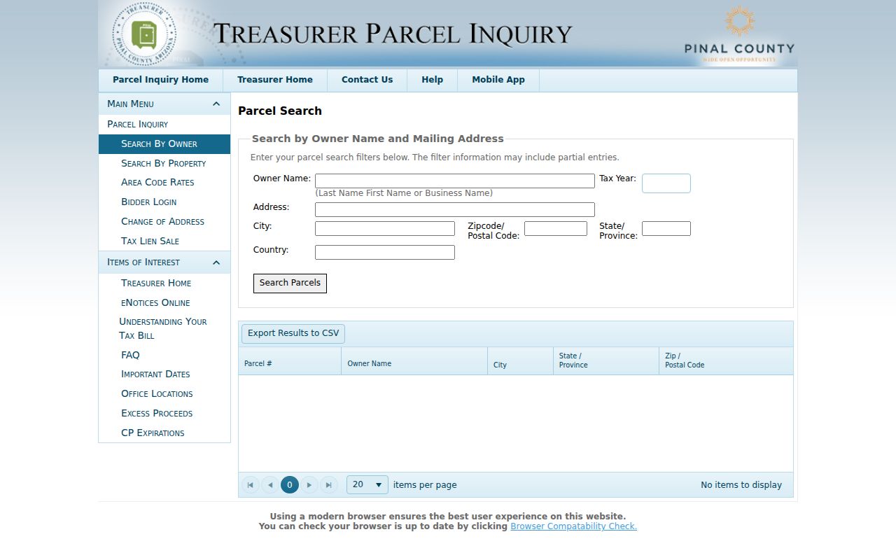
That distinction keeps a tax-mail destination from being mistaken for the street location or a full list of people who live there.
Map the Maricopa Street Block
The current Pinal County Assessor Parcel Viewer searches by APN, site address, or owner. It can display parcels, roads, subdivisions, surveys, lot lines, structure footprints, municipal limits, township and range, and aerial layers. A result popup separates the site address from the postal address and can include owner names, year built, sale date, sale price, assessed values, acreage, and a Reception Number.
Use the map to verify shape and context. Click the seed parcel, then inspect adjacent polygons one at a time. Selection tools support rectangles, polygons, circles, polylines, and points with partial-within selection. There is no configured radius buffer. Measurements are useful context, but the map is not a legal survey and does not control title.
Owner is not occupant. Maricopa GIS identifies assessed owners and tax-mail destinations, not renters or every person who shares an address.
For the street directory, GIS is strongest as a visual bridge from a typed address to the correct parcel, subdivision, and recorded land description.
Decode Maricopa Property Terms
County systems use different identifiers. Carrying the right term into the right portal avoids a false dead end. A Reception Number shown in GIS is a lead toward a recorded transaction; the Recorder calls its document identifier a Fee Number. Neither should be confused with the APN.
- Parcel or APN
- The Assessor's Book-Map-Parcel-Split tax identifier for a piece of land.
- Situs address
- The physical location of the parcel, also labeled Site Address in the county map.
- Postal address
- The destination for an owner's tax correspondence, which may be elsewhere.
- Plat
- A recorded map that lays out a subdivision, lots, streets, and related land details.
- Criss-cross directory
- A directory arranged by street and number rather than only by a person's surname.
When a parcel has split, the lettered split may not exist in an older deed. Use the parent legal description, subdivision plat, or Assessor cartography help rather than assuming today's APN has always been the same.
Link Maricopa Streets to Deeds
The Pinal Recorded Document Search can be queried by Name, Fee Number, Document Type, Record Date, Doc Legal, or Docket/Page. Search spelling variants and match the legal land, document date, and party role. A name alone can belong to someone else. A deed result may show the grantor, grantee, instrument type, Fee Number, recording time, docket/page, legal description, and a watermarked image.
Online index and image coverage begins on May 23, 1980. A miss before that exact date is expected, not proof that no instrument exists. Earlier deed books and microfilm require the Recorder in Florence. The office also takes copy requests by email, mail, and counter. Public copies cost $1 per page, and certification adds $3 per document.
Note: The Maricopa Assessor branch handles local parcel help, but historical or certified Recorder work remains with the Recorder's Florence office.
Request Maricopa Permit Records
City files add dates and project facts that a deed does not contain. The Maricopa Permit Center, at 520-316-6920 or dsd@maricopa-az.gov, handles permit services, while building plans and other existing records are routed through the city's JustFOIA system. A useful request names the exact site address, APN, department, record class, and date span. Ask for the application, issued permit, inspection history, certificate of occupancy, or plan set only when each item serves the inquiry.
The official Maricopa Permit Center page provides the front door for address-based development records.
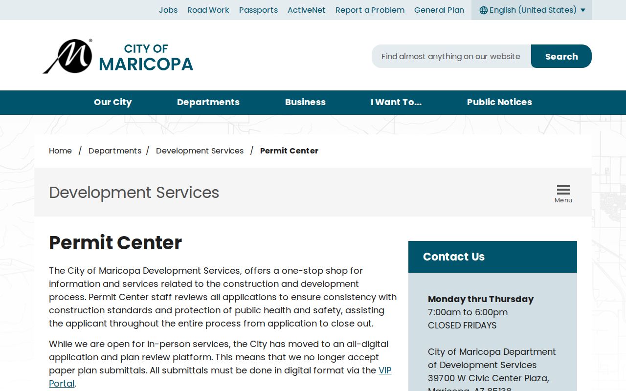
A permit can date construction or alteration and identify an applicant or contractor. It does not establish who occupied the property.
Open Maricopa Code Records
Code cases are distinct from permits. Maricopa Code Compliance explains the program, but no open case-name browse was verified.
The city Code Compliance source shows the public access point used for a bounded record request.
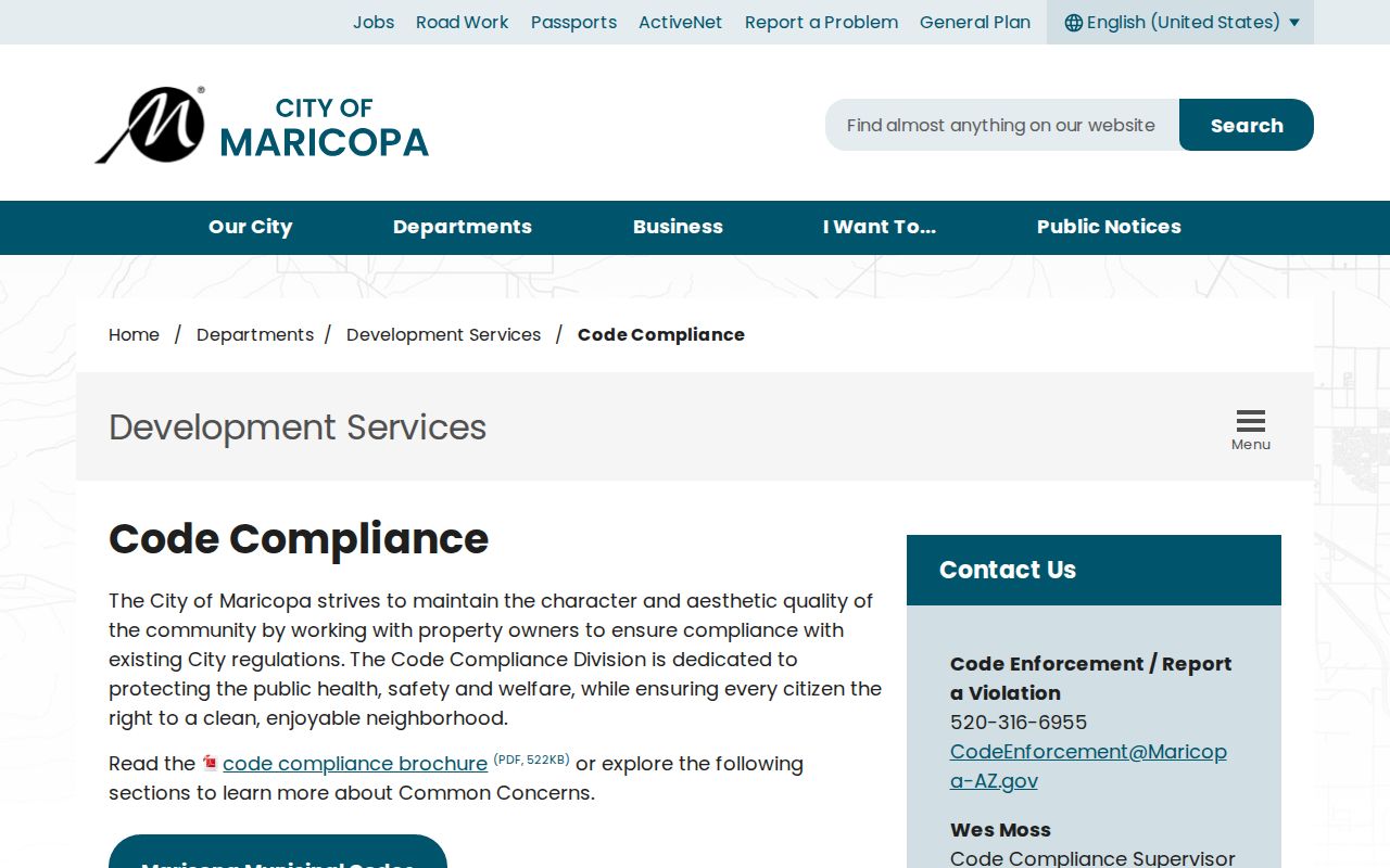
Requesting a known address and date range is more precise than asking City Hall to identify everyone connected with a location.
Check Maricopa Street Jurisdiction
A postal last line of Maricopa does not prove that a parcel was inside city limits on the date of an event. The city's addressing app returns either City Limits or Not Within City Limits. Current Maricopa maps and addressing data can establish the present route, while older permit or code research must account for annexation timing. County planning records are the fallback for land that was outside the city.
The Maricopa maps and data source helps place an address before the search moves to a municipal or county custodian.
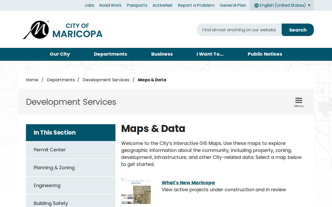
That jurisdiction check can explain why a valid postal address produces no Maricopa city permit result.
Old ZIPs in Maricopa Street Searches
USPS changed Maricopa's 85238 and 85239 ZIP Codes to 85138 and 85139 in 2009. The streets did not move. A document, mailing address, news item, or directory entry from before the July conversion may therefore use an old middle digit. Search both forms when a street record crosses that year.
No authoritative citywide street-renaming or renumbering chronology was found. The verified ZIP conversion is the safer continuity clue. Planned roads, rural routes, ranch names, railroad references, sections, townships, ranges, and subdivision lots may also replace a modern street number in older records.
Maricopa Voters Are Not a Street Roll
The Arizona Voter Information Portal is a self-verification service. It requires identifying inputs and is not an arbitrary street directory. A Pinal County voter-data request must state its scope, format, geography, and a permitted purpose under A.R.S. § 16-168. Protected fields and protected addresses remain withheld. City, ZIP, district, and precinct boundaries also differ.
A failed self-service lookup may reflect the wrong county, spelling, recent registration, or status. It does not prove that someone is unregistered. When voter evidence is lawful and necessary, follow the county request form rather than treating the state portal as a public neighbor browser.
Use Maricopa Records Requests
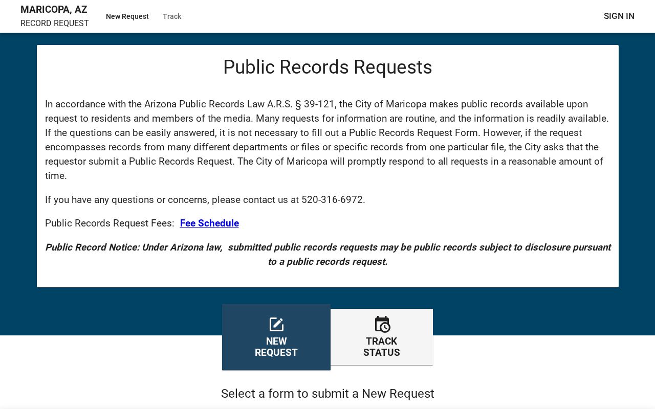
The Maricopa public-records request portal is the fallback for existing city permit, building-plan, code, Clerk, or police records that have no open browse. Arizona Public Records Law requires prompt handling, but it sets no universal fixed number of days. Keep the request narrow: identify the department, address, APN, specific record class, approximate dates, and preferred electronic format.
The Maricopa public-records request portal shows the channel used when a street directory search reaches a city-held file.
A precise request asks for an existing record. It does not ask staff to build a profile of the people associated with an address.
Limits of Maricopa Street Records
Property records are strong evidence for ownership, parcels, and recorded transactions. They are weak evidence for the full household. A trust or company may own the land. An owner may receive mail elsewhere. A person living at the address may never appear on a deed. Utility, delivery, and motor-vehicle customer data do not become public household rosters merely because an address is known.
For historical occupant work, use the Maricopa city directory collections only for the edition year, then pair the entry with census, deed, newspaper, or probate evidence. No verified exact run of local reverse directories is published online, so ask Maricopa Library, the Historical Society, Arizona State Archives, or an interlibrary-loan desk to confirm a volume before citing it.
Lawful use. Use Maricopa address records for family history, property research, civic inquiry, or fraud prevention. Never stalk, harass, threaten, or expose a protected person.